
Walk a Frankfort Street Directory
A Frankfort street directory can establish which parcels line a road, which names appear in assessment or recorded-land files, and which historical subscribers were listed there. It cannot establish every current occupant. Start with the address as delivered, then move through sources in an order that preserves the link between street, parcel, legal description, and named role.
- Confirm the postal form and ZIP through USPS. A recognized mailing city does not prove Village limits.
- Enter the number, direction, street name, and city in the county or township assessor search. Save the PIN and assessment date.
- Inspect the parcel, address point, road, municipality, township, and adjacent geometry through Will County GIS.
- Search the Recorder by PIN and address, then by grantor, grantee, legal description, or book and page.
- Check Village permits, zoning, code, and other municipal records tied to the address.
- For an earlier period, compare plats, the Sanborn map, telephone or city directories, newspapers, and local house histories.
Write down alternate forms. “W Lincoln Hwy,” “Lincoln Highway,” and a route name may refer to the same road. Unit numbers, rural routes, fractional numbers, and rear entrances also produce false gaps.
Verify Frankfort Mailing Geography
USPS verifies delivery formatting, city presentation, and ZIP. It does not name an occupant or define a municipality. Frankfort's verified primary ZIP is 60423, but that postal label may cover Village and Township contexts. A parcel can lie in Frankfort Township while remaining outside the Village. Some municipal documents also require attention to Will and Cook county references.
After USPS, compare the county address point, parcel polygon, township, and municipal layer. Use the source-defined label in notes: postal city, incorporated Village, Frankfort Township, or Will County. This keeps a by-address search from being sent to the wrong records office.
Frankfort Address Search Fields
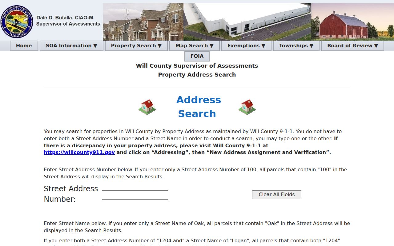
The Will County Supervisor of Assessments address search accepts partial values, which helps when a suffix or direction is uncertain. The Frankfort Township Assessor splits the address into more fields and also accepts a parcel number. Its guidance suggests widening a search with fewer characters. Assessment data serves tax assessment work and is not proof of title or market value.
| Field | Portal format | Street-directory use |
|---|---|---|
| Parcel Number | Full or partial PIN | Stable bridge to GIS and deeds |
| Street Number | Numeric house value | One parcel or nearby matches |
| Direction | Prefix field | Separate east, west, north, or south forms |
| Street Name | Text, fewer characters allowed | Browse the road despite suffix variation |
| City | City or town text | Refine results without proving limits |
See the Will County address search before moving to its PIN and owner routes.
Decode Frankfort Parcel Numbers
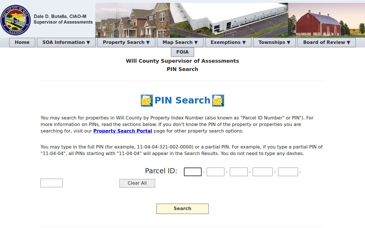
Frankfort Township parcel numbers commonly begin 19-09. The first segment is the county computer code, and 09 identifies the township. The remaining segments cover section, block, lot, and a miscellaneous component. Dashes are optional in the county PIN search, and a partial prefix returns matches that begin the same way.
The Will County PIN search explains the segment pattern used to connect street records.
- Parcel
- A tract represented in land and assessment systems.
- Situs address
- The physical location assigned to property, which may differ from its tax mailing address.
- Plat
- A recorded map that divides land into lots, blocks, streets, or easements.
- Criss-cross directory
- A directory arranged by address or phone number so a road can be browsed.
Map Frankfort Streets in GIS
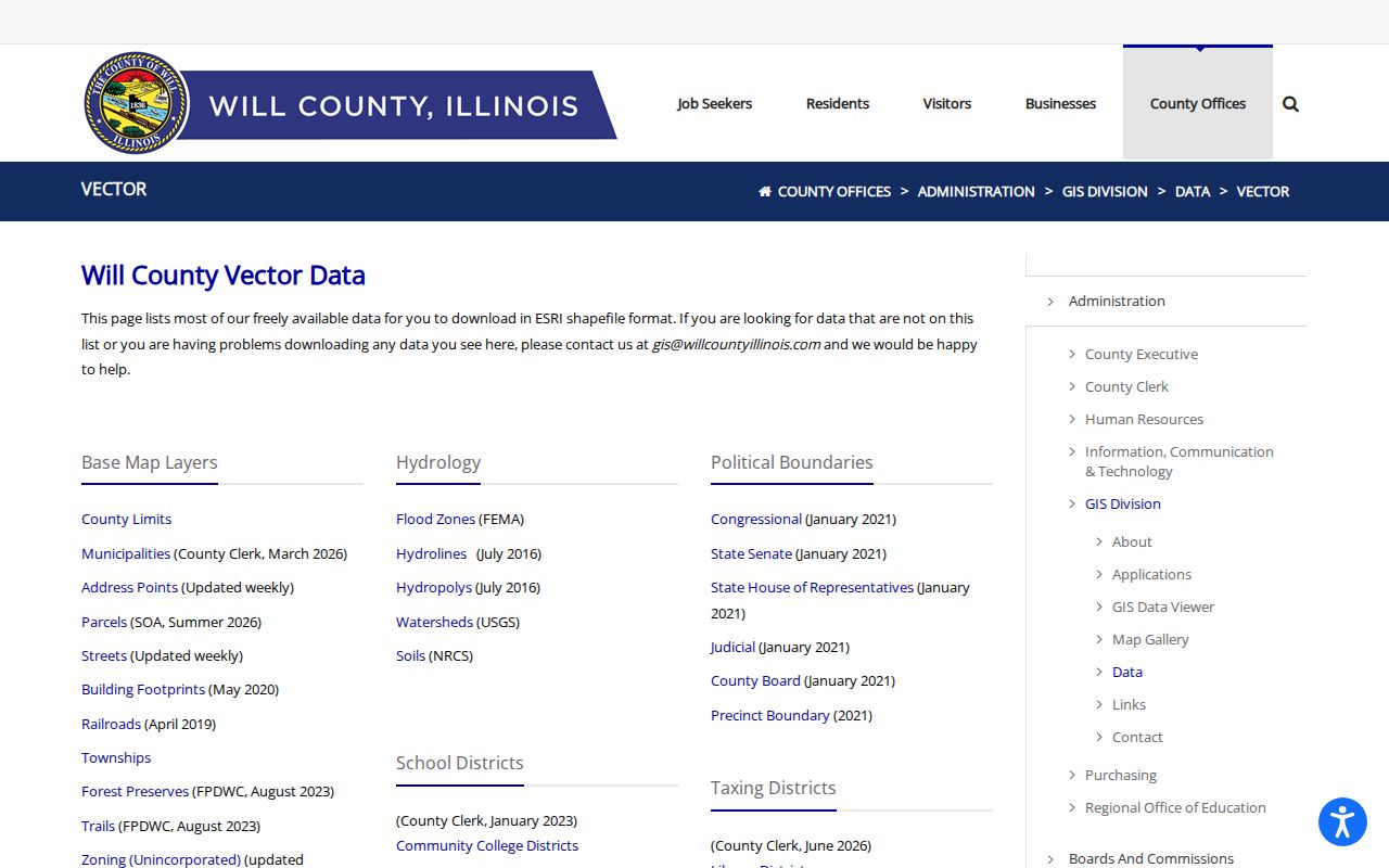
Will County describes its GIS Data Viewer as an application with more than 70 layers. Useful layers include parcels, address points, streets, municipalities, townships, building footprints, aerial images, trails, railroads, schools, hydrology, and taxing or political districts. The live viewer did not expose reliable control names during research, so the published vector inventory and parcel REST service are the documented fallbacks.
Open the Will County GIS vector inventory and note each layer's update date.
GIS proves geometry, not occupancy. A neighboring polygon may be vacant, commercial, agricultural, institutional, common land, or held by an entity. Check address points separately and describe an adjoining shape as an adjacent parcel.
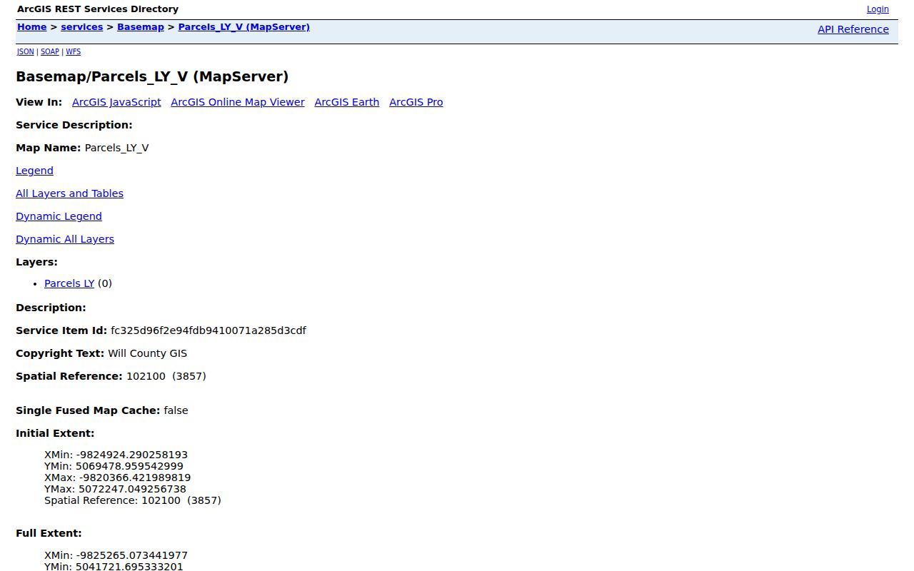
The Will County parcel REST layer exposes the parcel fields behind a reproducible by-street check.
Frankfort Records Searchable by Street
Each address-keyed source answers a distinct question. The street directory is strongest when one result supplies the identifier for the next search. Keep the role language exact, especially when a name comes from a tax, deed, permit, or old directory record.
| Record Set | Keeper | What It Shows | Access |
|---|---|---|---|
| Assessment record | Township Assessor or County SOA | Assessed name, parcel, value date | Free portals, office, request |
| GIS parcel layer | Will County GIS | Geometry, address, class, districts | Viewer, vector data, REST service |
| Deeds and liens | Will County Recorder | Instrument parties and land description | Online index, paid tools, archive |
| Village records | Village of Frankfort | Permit, zoning, code, or license roles | BS&A, office, Village FOIA |
| Historic listings | Library and Historical Society | Subscriber, household, site, or business at a date | In-house material and research request |
The PIN connects assessment, GIS, and many recorded instruments. The address connects Village files and printed sources. When the formats diverge, the legal description and plat can preserve the link. Voter confirmation is not a way to browse all people on a road because the state form requires one person's first name, last name, birth date, and ZIP.
Follow Frankfort Deeds by Address
The Recorder's online working index generally reaches from 1965 to the present. Search by PIN or address first, then inspect the latest deed and move through grantor, grantee, legal description, book and page, or document number. A mortgage or release does not transfer ownership. A deed may convey a trust, estate, life estate, company interest, or more than one address, so the instrument matters more than the result row.
Older work requires the Joliet office, public workstation, archive, microfilm, historical index, plat book, map, or a specific document request by phone, fax, email, mail, or FOIA. The Recorder says all plats go back to 1836. It also warns that new documents can take several days to appear online.
The official parcel REST sample demonstrates a useful limit: it returned address, PIN, tax code, property class, valuation date, acreage, and equalized value, but no owner. A parcel fact should remain a parcel fact until an assessor record or deed supplies a named role.
Check Frankfort Municipal Addresses
The Village BS&A portal searches municipal activity by address, name, parcel number, permits, licenses, utilities, and detailed record categories. Results may name a property owner, applicant, contractor, licensee, or another role at the time of the record. Municipal code and zoning materials can explain what process created the file.
If the portal has no result, contact the relevant Village department or use the Village FOIA form. State the exact address, department, file type, and date range. Request inspection or electronic copies where suitable. The available form has an old revision date, so verify its current delivery route before sending sensitive contact details.
The Frankfort municipal code identifies the legal structure around local records.
Reconcile Old Frankfort Addresses
Street names, suffixes, house numbers, unit labels, boundaries, and parcel lines can change. Frankfort research should test the 1926 Sanborn sheets, historic plats, the historic resources survey, the 2014 zoning map, Recorder legal descriptions, and current County GIS. The zoning map gives useful Olde Town and H1 Historic District context but is not a current boundary guarantee. Planning maps must also be labeled as plans, not present facts.
The library's earliest identified telephone directory is from 1924, while a finding aid points to a 1902 city-directory edition without confirming a complete run. Use the closest available edition, then bridge the gap with a census, deed, newspaper, cemetery source, or home history. Detailed collection research belongs on the Frankfort city directory page.
Rail Lines Mark Frankfort Streets
Local history explains why older street evidence can use different place labels. Settlement began before the town name stabilized. Chelsea was established in the present downtown area in 1848, and the railroad brought the Frankfort Station name. The town was founded in 1855 and incorporated in 1879. Old Plank Road Trail, Lincoln Highway, Route 45, rail lines, and the historic downtown remain useful map reference points.
Keep the period name beside the modern normalized address. A railroad-era newspaper mention may not align with a modern postal search, yet a plat, legal description, or Sanborn block can connect the two. This history is an evidence tool, not proof that one road always followed its present course.
Limits of Frankfort Street Directory
A Frankfort street directory cannot produce a complete current household roster. Assessment and deed systems focus on property roles, not occupancy. GIS shows land and boundaries. A permit identifies a party to a project. A printed directory captures one edition. Voter confirmation requires personal inputs and is not a browseable block list. The Illinois Address Confidentiality Program may substitute an address for eligible people, and other records can be withheld or redacted under privacy rules.
Use every fallback channel without expanding the claim: online portal, custodian phone or email, office counter, public terminal, archive, microfilm, mail request, library, Historical Society, IRAD, or a narrow FOIA request. A “no result” may reflect coverage, spelling, timing, or access limits rather than absence.
Lawful use. Use Frankfort address records only for lawful personal research, never to stalk, harass, threaten, intimidate, or harm any person.