
Look Up Frankfort Neighbors
Frankfort neighbors are best understood as nearby parcels and shared community context, not a roster of households. The county GIS can place an address among adjoining lots, streets, trails, streams, districts, and municipal lines. Assessment records can add a parcel lead. Neither source proves who sleeps at an address, how people are related, or whether an owner occupies the property.
| Source | What It Shows About a Block | Access |
|---|---|---|
| Will County GIS | Parcel shapes, roads, address points, buildings, trails, streams, and boundaries | Free viewer, vector downloads, and REST layer |
| Township and County assessment | Parcel, address, assessment, class, sale, and owner-name leads | Free online searches; township office for corrections |
| Illinois voter confirmation | One known person’s registration status | Name, birth date, and ZIP required; not a block roster |
| HOA public pages | Covenants, events, amenities, notices, and management contacts | Public pages only; do not copy private directories |
| Historic maps and archives | Earlier block form, structures, businesses, and dated household clues | Library, Historical Society, and digital collections |
Label every result by its actual role. “Adjacent parcel” is accurate when two parcel polygons touch. “Assessed owner” describes an assessment record. “Mailing address” is where a tax notice goes. None is a safe substitute for “neighbor” or “resident.” That distinction lets a block study remain useful without overstating personal data.
Frankfort Neighbor Map Layers
The Will County GIS Data Viewer describes more than 70 layers. Useful block layers include parcels, address points, streets, building footprints, aerial images, municipalities, townships, school districts, trails, hydrology, land use, and taxing or political districts. The live controls did not render during research, so exact button names and a claimed buffer tool should not be invented.
The GIS vector page and parcel REST service provide a fallback when the interactive viewer stalls. Record the layer date. Address and street layers may update weekly, while municipalities and parcels follow different release cycles.
The official GIS information page shown below identifies the county mapping source for Frankfort neighbor research.
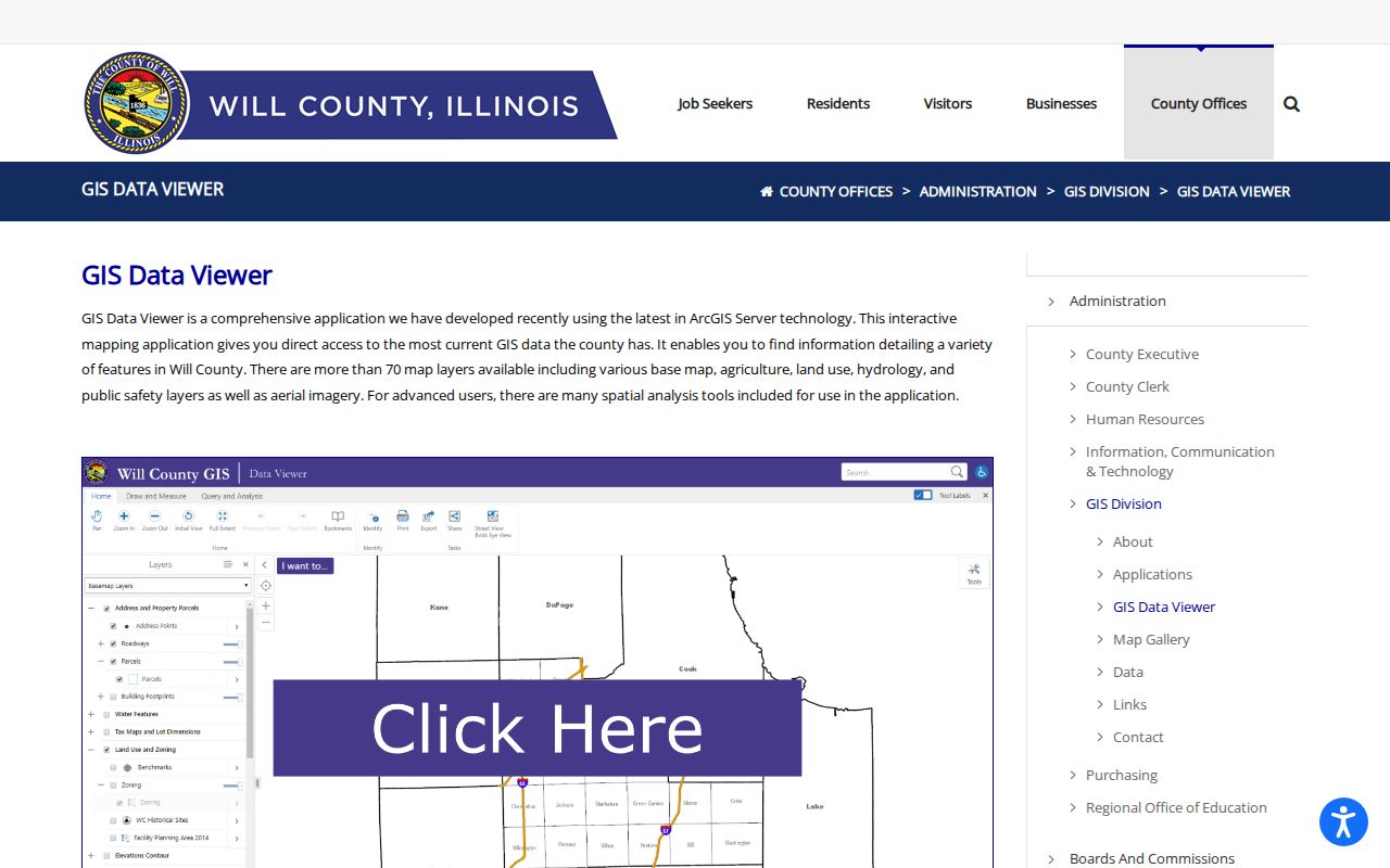
The image supports the mapping route, not a claim about any household. Use the current live layer for actual parcel work.
Map a Frankfort Neighbor Block
Begin with one normalized address and its PIN. Then move outward through geometry rather than names. A parcel may be a home, farm, business, institution, vacant lot, common area, or land owned by an entity. Check the address-point layer separately because one parcel can have several site addresses, and one mailing address may not sit on the land.
- Normalize the target through the County SOA address search.
- Locate its PIN in the Township Assessor or county portal.
- Select or query the parcel, then note each polygon touching it.
- Check address points, road access, boundaries, and land-use class.
- Verify any ownership claim in the current assessment and deed records.
For every adjacent parcel, retain PIN, normalized address, municipality or township, class, acreage, layer date, and nearby public feature. The Frankfort street directory handles the larger job of following a whole named road.
Read Frankfort Parcel Results
An inspected GIS sample for PIN 19-09-15-300-019-0000 returned a Frankfort address-style field, ZIP 60423, recorder PIN, tax code 1906, class C, a valuation date, acreage, equalized value, and object ID. It exposed no owner name. The sample demonstrates what a spatial record can establish without turning the map into a resident directory.
- Parcel
- A mapped tract identified for land and tax administration.
- PIN
- The property index number used to connect county and township records.
- Address point
- A mapped site location that may differ from the parcel center or tax mailing address.
- Layer date
- The publication or update date for the map data being read.
A complete assessment card still requires the Frankfort Township or County SOA result. A title claim requires the recorded instrument. Keep those checks separate from the GIS observation.
Frankfort Neighborhood Associations
Flagstone, Stone Creek, Heritage Knolls, Prestwick, Lighthouse Pointe, and Abbey Woods have public community or association pages. They may publish covenants, architectural rules, announcements, amenities, events, management contacts, and community resources. Research found no public umbrella directory for all Frankfort neighbors.
Prestwick
Public HOA page
Use announcements, rules, and contact routes. Do not open or reproduce a resident roster.
Frankfort Township
Township information
Check township services, cemetery, roads, notices, and public contacts.
The Prestwick public page shown below illustrates the community layer.
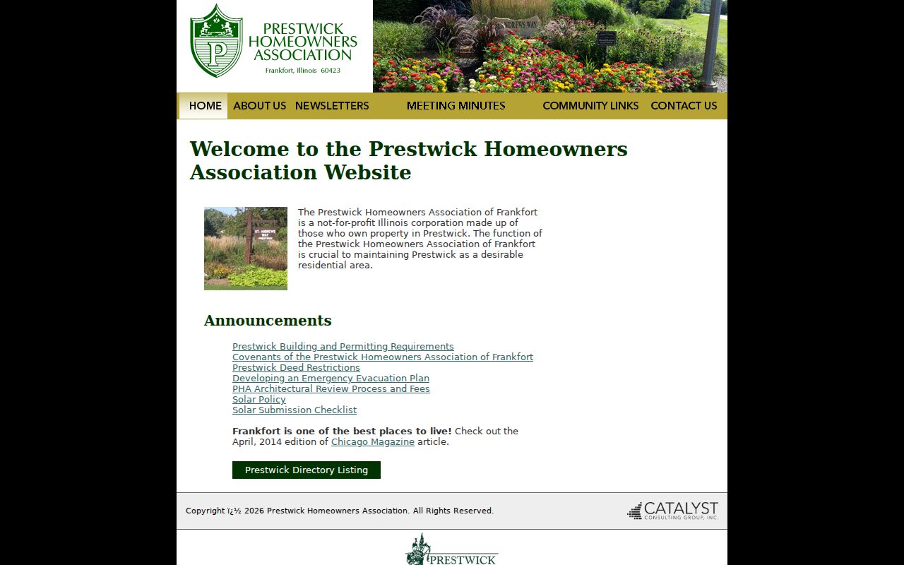
The presence of a directory link marks a privacy boundary. Public association facts may describe a subdivision, but a member list should remain with the association.
The Frankfort Township public-information page provides another local route for roads, cemetery matters, and township notices.
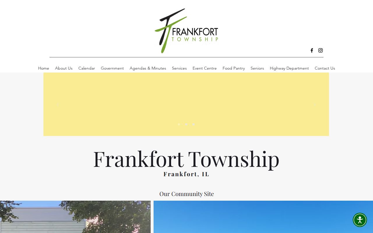
Township information adds jurisdiction and service context, not a list of Frankfort neighbors.
Official Frankfort Neighbor Sources
Official records and commercial neighbor tools answer different questions. County sources identify parcels, assessment roles, deeds, and public boundaries with a named custodian. Commercial tools combine data from many places and may be stale, mismatched, or unclear about origin. They should not override a current county record.
| Source type | Strength | Limit |
|---|---|---|
| County or township record | Named keeper, field definitions, correction route | Shows a legal or administrative role, not necessarily occupancy |
| Commercial compilation | May surface a lead | Accuracy, date, and source can be unclear |
| HOA public page | Community rules and public contact | No permission to copy a member directory |
Use the least invasive source that answers the question. For a fence, drainage line, trail, or district issue, the map may be enough. For ownership, inspect the deed. For a community rule, contact the association.
The Recorder’s Property Fraud Alert page offers a free notification route for recorded documents.
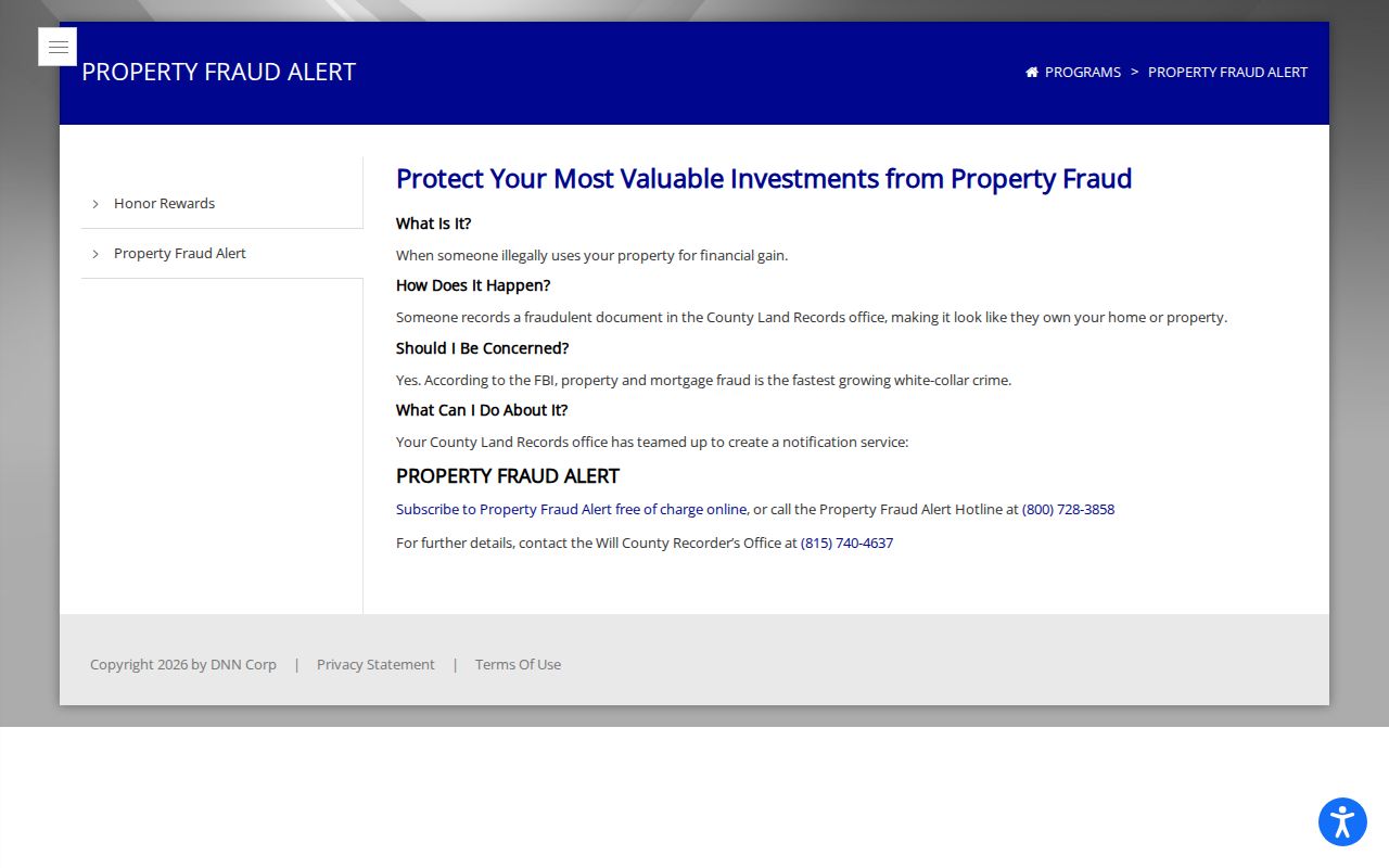
The alert concerns recordings tied to a selected name or property interest. It is not a neighborhood surveillance tool.
Frankfort Neighbors in 1926
The digitized October 1926 Sanborn map offers a two-sheet snapshot of downtown structures, occupancy types, boundaries, and house or block numbers. Compare it with modern GIS to study changes in a building footprint, parcel split, street name, railroad relationship, or land use without naming current residents.
Frankfort Station, the railroad, the 1855 plat, and the Olde Town historic district help explain why an older address may not align cleanly with a modern parcel. Local home files, photographs, village minutes, and oral histories can add context, but each source must stay tied to its own date.
Privacy for Frankfort Neighbors
Public access is not permission to republish a household roster. Assessment, GIS, voter, HOA, delivery, and utility data have different rules and purposes. Illinois voter confirmation requires details about one known person and does not provide an open block list. The Illinois Address Confidentiality Program can provide a substitute address for eligible participants, though it does not necessarily erase older property records.
Lawful use. Look up Frankfort neighbors only for a lawful personal or civic purpose. Never use public records to watch, threaten, harass, or intimidate anyone.
Corrections belong with the source office. Report an assessment issue to the township assessor, a map issue to county GIS, a deed issue to the Recorder, and a private association concern to its management contact. A careful neighbor lookup records the source date and stops when the public purpose has been met.
Place Frankfort Neighbors Correctly
A Frankfort mailing address can be inside the Village, in Frankfort Township outside the Village, or near another municipal or county line. ZIP, township, municipality, school district, and taxing district are not interchangeable. Compare neighbors only after the same boundary layer and layer date have been applied to every parcel.
The Village holds municipal permits, zoning files, and local code records. Frankfort Township maintains its own government services and assessment source. Will County supplies broader assessment, deed, election, and GIS systems. If an online result is unclear, contact the office, inspect a public terminal, or request the specific nonexempt record under Illinois FOIA.
This boundary check also explains why nearby blocks can share a road, trail, newspaper, or mailing city while falling under different offices. Record the source-defined geography instead of forcing every result into one broad Frankfort label.
Document Frankfort Neighbor Parcels
A privacy-aware block matrix can be useful without publishing people. Include the parcel PIN, normalized site address, municipality or township, land-use class, acreage, GIS layer date, and adjacent road, trail, stream, or public facility. Add a public-facing institution or business name only when the source clearly labels it.
Leave out household members and private association rosters. If an owner name is needed for a specific property question, verify it against the current assessment and recorded deed, then retain its legal role. Do not infer occupancy from a matching mailing and site address because trusts, estates, entities, and delayed updates can complicate the result.
The matrix works well for drainage, access, preservation, subdivision, and civic questions. It also creates a repeatable record of what the map showed. Save the URL and capture date, since Will County’s address, street, parcel, and municipal layers do not all update on the same schedule.